- English
- मराठी
Languages:
This site is created using Wikimapia data. Wikimapia is an open-content collaborative map project contributed by volunteers around the world. It contains information about 32395934 places and counting.
Learn more about Wikimapia and cityguides.
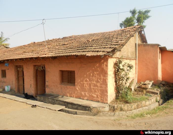
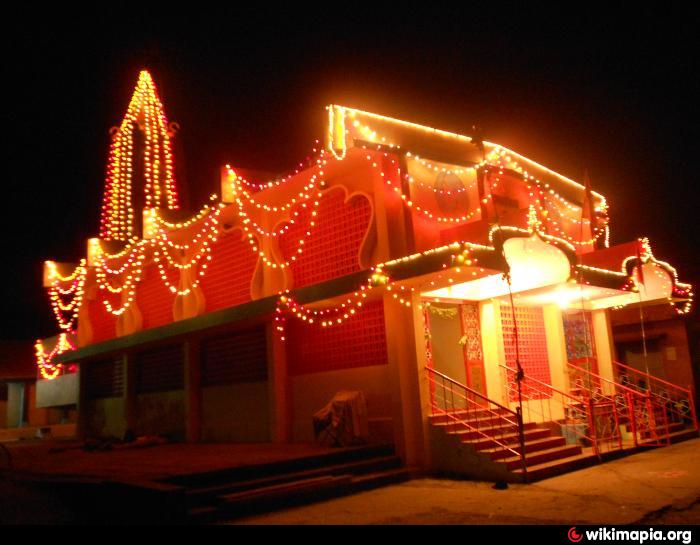
Nangnur
Near NH-4 (Sankeshwara),Beside Hirankeshi river.
Nangnur on the map.


Recent city comments: